

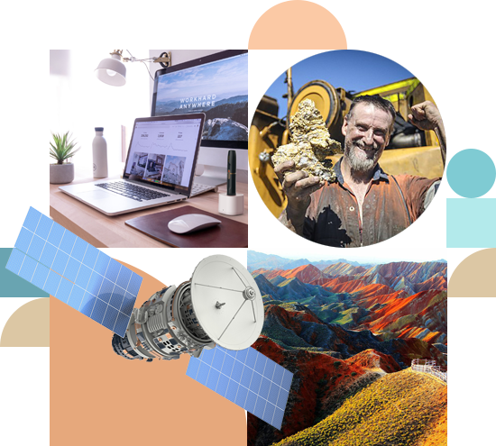
01. Exploring natural resources from space
We are executing an integrative approach to combine traditional geo data with results from geo-statistical methods and infer new insight into the subsurface of the earth.
Our VDDT technology uses time series of images to isolate surface features caused by the dynamics of the inner earth to model the subsurface of the earth for the exploration of oil & gas, minerals, geothermal water, and underground water.
Our LDDT technologies incorporate a very detailed analysis of the geo-tectonics of areas of interest. Lineaments are isolated on regional, local, zonal and detailed levels on the surface and these provide data of their subsurface continuation modelling provided by LDDT.
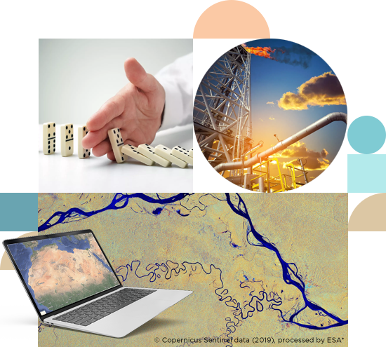
02. Land management. Asset tokenization
The disruption of the market by blockchain is one that stands to boost investments and open more doors of opportunities to potential investors.
Blockchain technology — can provide a digitized, decentralized, distributed ledger that immutably records and shares information. It has all features to enable the land and license management to being highly efficient and accurate. It can transform core land related operations like asset transactions (purchase, sale, financing, leasing, and mining license management) and for a broader impact it can also drive efficiency by enabling data-driven land and license management.
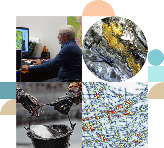
03. Remote asset monitoring
Earth observation is very well suited for monitoring assets be it infrastructure or land & license use – especially, in offshore, coastal or desert areas given that the areas to be covered are large and not easily observable by other means. In order to assist our clients in protecting critical assets from damage or misuse our solutions under development are — spanning over a wide range of spatial and temporal resolutions — and deliver meaningful information for overseeing and managing risks to critical infrastructure and assets.
The technology will:
- Reduce the need for for human inspections
- Allow for cost-effective asset monitoring
- Allow advanced decision support and management
*Copyrigth © contains modified Copernicus Sentinel data (2019), processed by ESA, CC BY-SA 3.0 IGO

Services
Geology
Mineral exploration
Hydrocarbon exploration
Geologic structures delineation
Geologic unit mapping
Hydrology
Water exploration and inventorying
Flood inundation and flood mapping
Irrigation water management
Hydrological modelling
Agriculture
Crop monitoring and damage assessment
Crop type mapping
Yield prediction
Drought monitoring and assessment
Project management
Geo Information Systems
Image Processing and Photography
About Pytheas
start of our journey
mil. sq. km area processed
meters maximum processing depth
project countries
Performance
Our team works together since early 2006. We bring experiences from different industries and geographies into our partnership. We started with the development of our innovative software solutions for the Oil & Gas and Mining industry in 2009. Client projects have been executed from the very beginning of our joint journey on.
Scale
As of today, about 2 Million onshore & offshore square kilometres of our planet are processed with our analytical approach and subsurface data to depths of 10km have been computed, processed and interpreted.
Countries
We, as a team, are proud of every single one of our projects which have been executed in the US, Peru, Uruguay, Russia, Turkey, Thailand, Cambodia, Spain, Greece, Somalia, South Africa, Sudan, Equatorial Guinea, Tanzania, Mocambique, Vietnam, UAE among others.